Have you ever wanted to use our awesome skyshade/hillshade in your own maps? Now you can!
A long-awaited update to the hillshade basemap
For years we’ve offered up a basic multi-directional hillshade service in our Discover basemap and imagery services. This was built from our old 5m auto-correlated DEMs and reflected all of the artifacts inherent in that data.
Now that we’ve got 10m DEMs that reflect the statewide data collected as part of the USGS’ 3DEP lidar project, we’ve finally updated this service in Discover with new, clean, high-resolution data.
Hill and sky
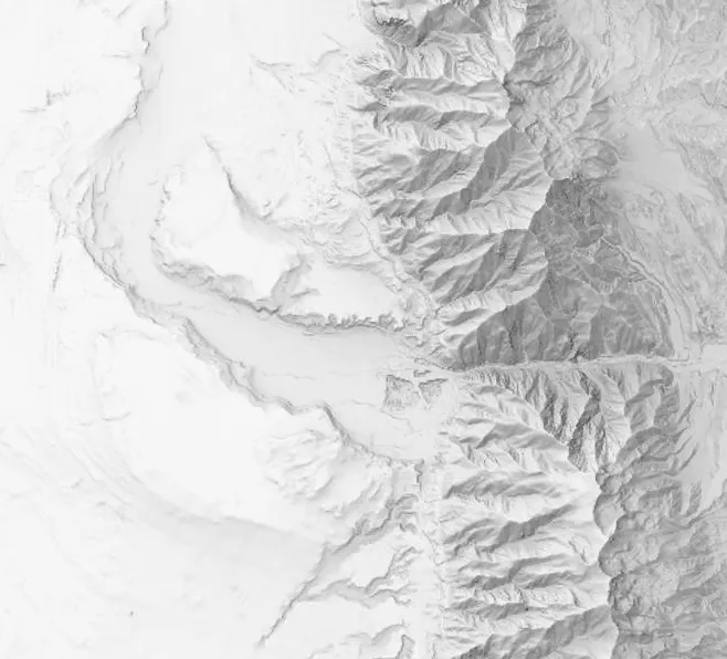
Our updated hillshade service blends two different DEM derivative products. The first is a hillshade created through gdal’s CLI with the combined option, which gives a good looking but traditional hillshade where each raster cell’s value is still only determined by its own slope and aspect.
The second product is where the magic comes in: an implementation, opens in a new tab of Kennelly and Stewart’s skyshade algorithm, opens in a new tab that takes into account whether each raster cell would be in the shadow of adjacent terrain. This changes the hillshade from a glorified directional slope raster to a much more realistic depiction of tall peaks and deep canyons.
I want it!
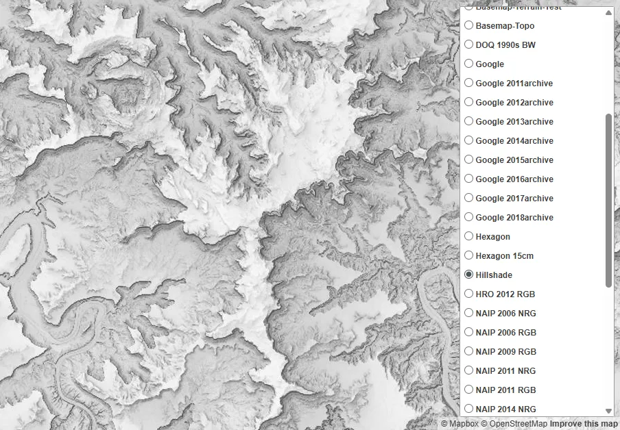
How do you get it? Simple, just sign up for our Discover basemap and imagery services. The hillshade service is available to both licensed and general access users. Anyone can use it as a backdrop for making amazing maps.